Te Araroa (day 56) - Manuka Hut to Two Thumb Track [Rangitata Crossing] / mile 1458
Big and important day, no huge miles or difficult terrain but crossing Rangitata sorted many logistic problems and felt quite special.
First thing in the morning, about 6am I got chased up by Paul from Australia. He wasn't joking about getting up and starting to hike early! We confirmed our intentions to cross the braided river most of people were taking shuttle around. Personally I thought that taking the bypass here was expensive and boring as the river was definitely walkable. It wasn't incorporating sense of adventure and taking calculated risks into TA experience.


Trail leading to the crossing was easy enough so we reached Mt Potts Car Park at 1pm. We met here "Noodles for Breakfast" family. Apparently they were featured in a prominent YouTubers video about hiking Te Araroa. Noodles were waiting for a shuttle back to Geraldine. We had a lunch break here and discussed the crossing again, as it started to rain on top of the river and we could see the clouds in the distance.


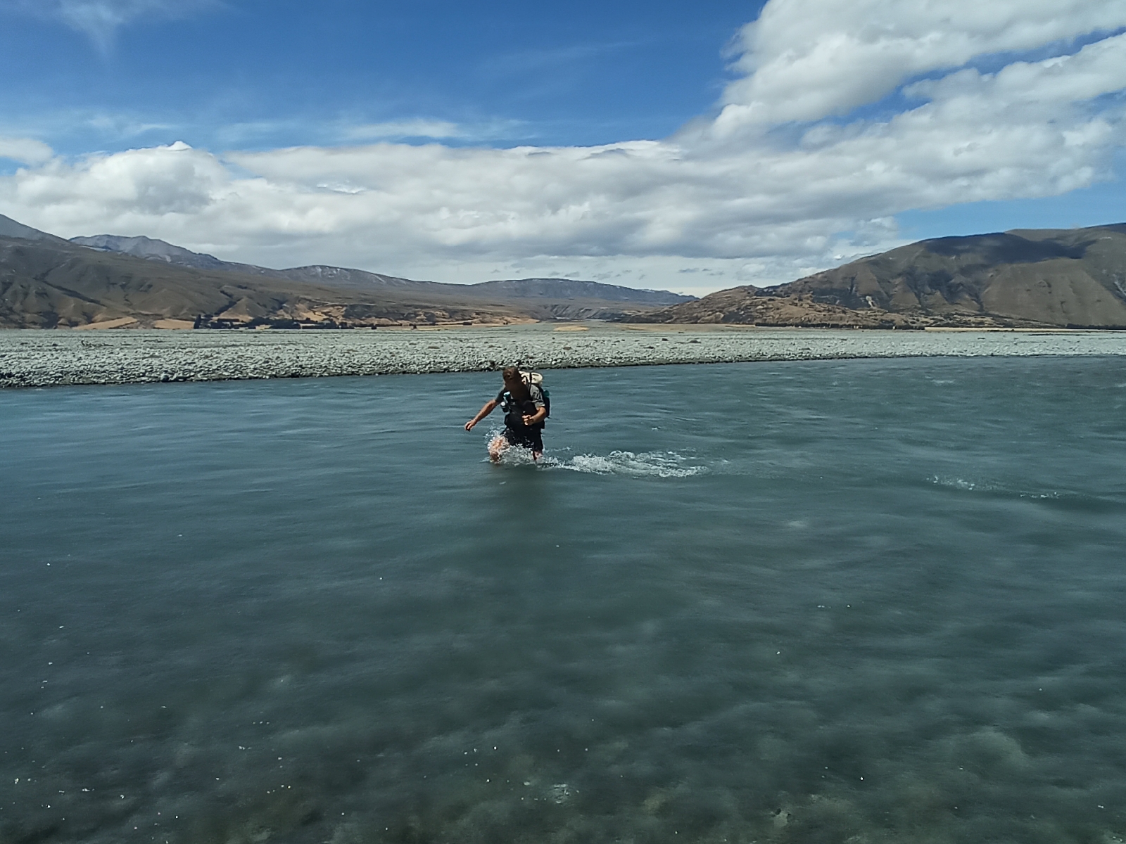
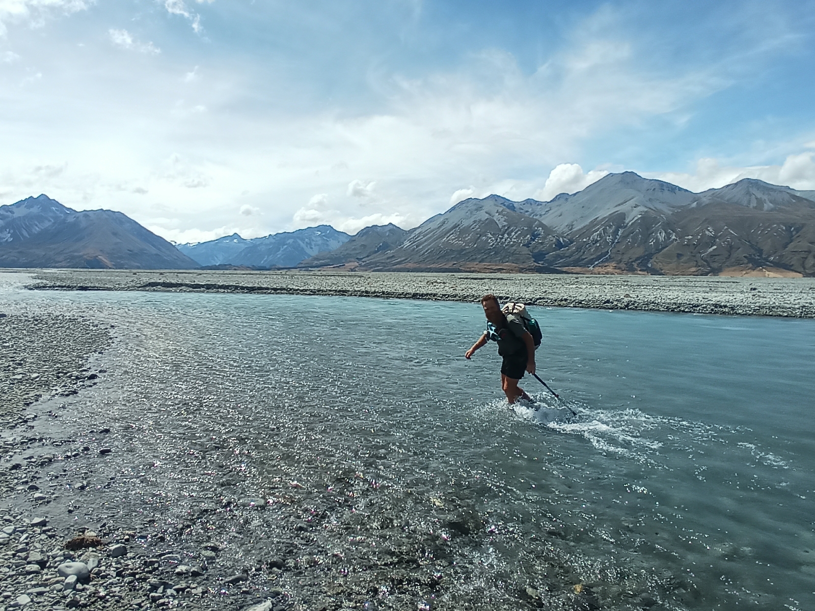
Not long after Wayne, the shuttle driver arrived to pick up the family. I had a word with him about our plans, he said that there was about 20mm of rain, crossing should be possible but we better do it sooner than later. Final decision was to go. We approached the crossing cautiously and followed the 4wd track up the river, towards Mount Sunday (or Edoras featured in Lord of the Rings). From here we started crossing the braids one by one. The water was clear, a good indication that it wasn't raising too fast but it still went above our knees. Middle braids were a bit lower but the last two went to around our mid thigh hight. Current was swift but none of us felt like it was a safety problem and we made it to the other side in just over an hour.


From here we followed another 4wd track back down to the TA, the whole detour took us around two hours. In my opinion, views and the experience itself were well worth the risk. Other hikers who done it the previous day (without the rainfall) from what they told us, didn't have any issues as well. My gps tracker looked like this afterwards (thin red line being TA):

It was an intense day and it was coming to an end. We decided to part ways with Paul after the crossing. He wanted to set up his tent away from the trail in a grassy area he spotted, his feet were sore and he needed to have a rest. I carried on for another half an hour and set up the tent in a fairly well sheltered grasslands. Soon after clouds covered the sky, heavy wind was blowing every direction and it started to rain, it was a good time to call it a day.


Comments
Post a Comment